
Hiking Dude Blog
2025 - Aug Jul
2024 2023 2022 2021 2020 2019 2018 2017 2016 2015 2014 2013 2012 2011
09/10/2017
Day 51: Close Call
 I walked 43150 steps on the trail today.
I traveled about 16 miles today.
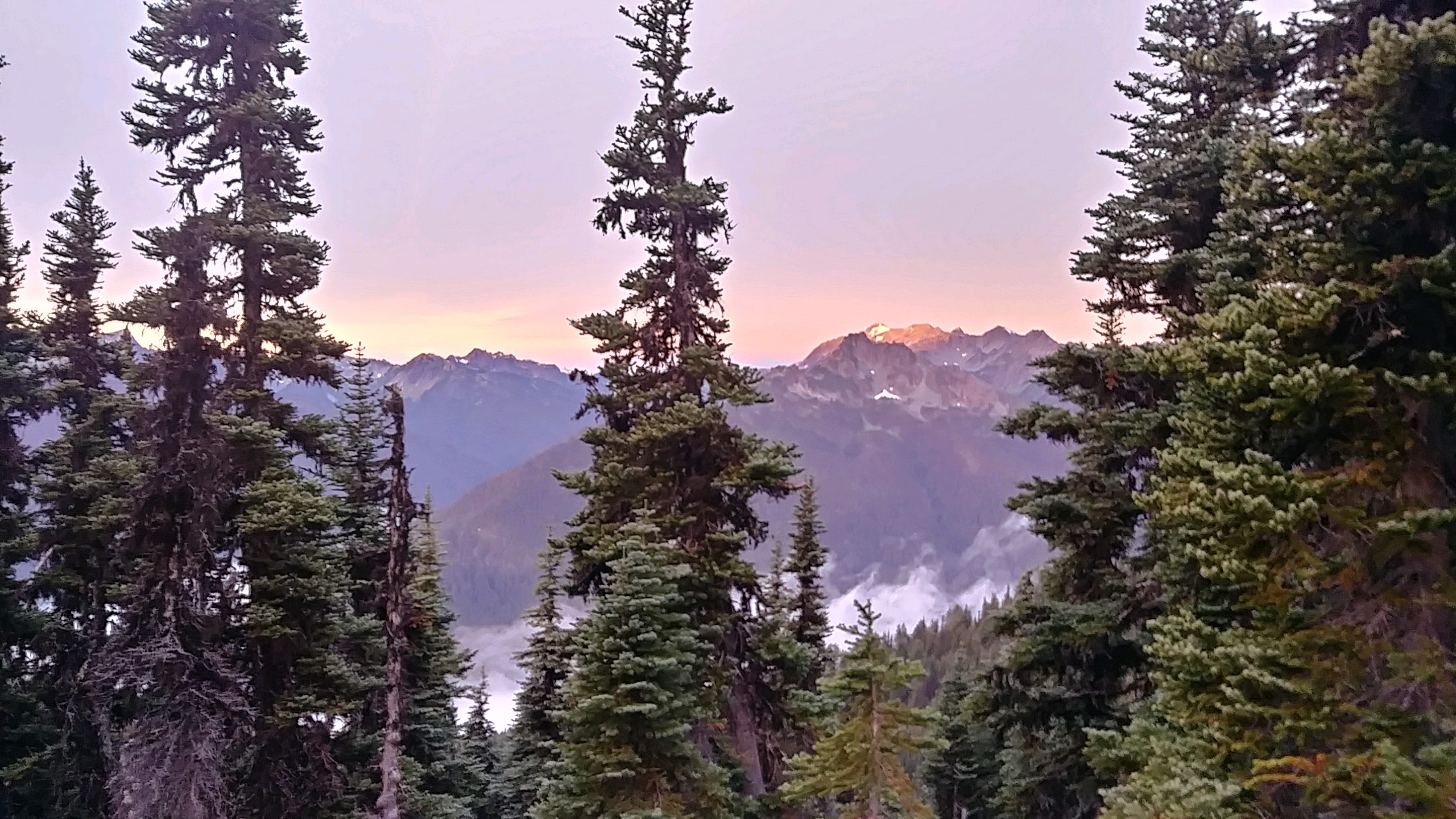
9/9/17 We woke to our first view of the Olympic mountains. It was cold but there was a beautiful sunrise shining on the mountains between high clouds and fog in the valleys. We had high hopes for a great day but it didn't go as planned.
The clouds and fog refused to burn off as we dropped from our Sunnybrook Meadows campsite down into a valley for many miles. The 100% humidity continued and the temperature fell as we climbed over Lost Pass in wind and driving mist. As we continued on to Cameron Pass, the wind picked up and so did the rain. High above treeline with no cover at all, we were buffeted relentlessly. We crested the pass and descended to sparce tree cover where we found a camp spot and set up. This was about 3pm, cutting our day and miles short. It took about 6 hours of rest in our smog, warm tent until my feet and hands felt warm again.
Our permit itinerary had us climbing over one more passand staying at a different campsite. With the extreme weather, that would have been very dangerous to attempt. Lucky for us, the ranger that stopped by around 5pm agreed with us.
We hit the southern most point of our trip today. Now we just need the western most at the very end. And, we had a couple pesky deer entertain us while we rested on our tent. Also, as night fell, the clouds blew out and the moon and stars were bright so there are high hopes again for tomorrow.
Leave Comment
Posted: 09/10/2017
Posted: 09/10/2017
Day 52: Sun
 I walked 64780 steps on the trail today.
I traveled about 27 miles today.
9/10/17 With no cloud cover, it gets cold at night! We had ice in our water and frozen socks from our soggy hike yesterday. A very uncomfortable start to the day but we have extra miles to make up from our weather shortened hike yesterday.
As we hiked, the wet plants crowding the trail would continually soak our legs and shoes. That lasted a few hours.
With the sun out, it seemed the people came out too. We encountered dozens of backpackers and, as we neared Hirricane Ridge, many more day hikers.
We climbed Grand Pass, which we were supposed to do yesterday, to glorious views back to Cameron Pass and the terrain we had struggled through. Then, it was on ahead over an unnamed pass up to Obstruction Point where all the day hikers were parked.
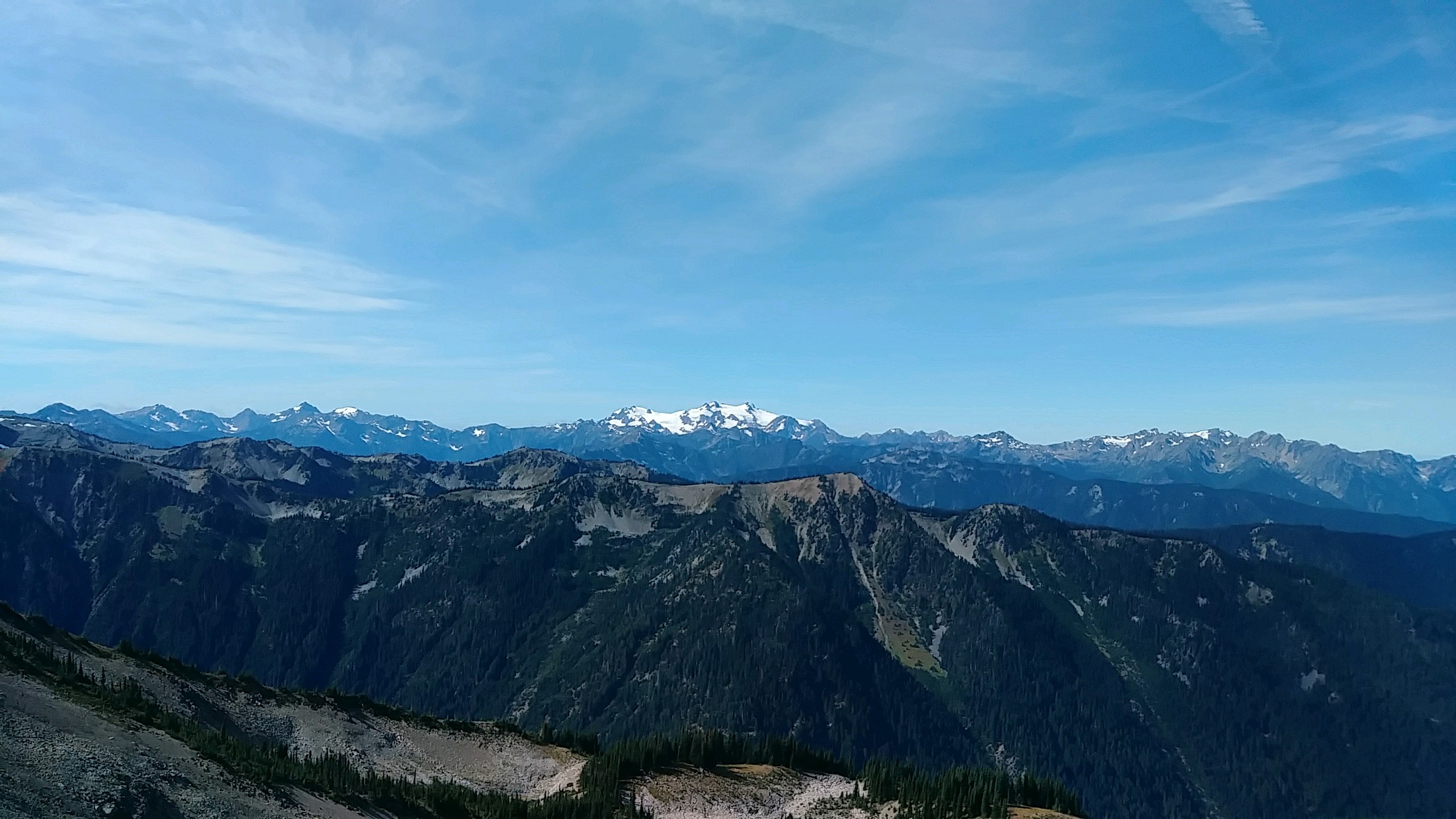
We were hoping to cover 27 miles today to get back on our itinerary but that's a lot in these mountains. At Obstruction Point, we got a pleasant surprise. The next few miles along Hurricane Ridge would be a gravel roadwalk. So, we chewed up the miles quickly as we enjoyed wonderful views of Mt. Olympus and the rest of range.
The last leg of the day's hike was up Hurricane Hill and then a 5000 foot decent to our camp at Altair where there just happens to be coverage so I'm catching up on these posts. We should finish our trek on Friday if all goes well.
09/11/2017
Done Hiking Today

I finished hiking for today. You can check out my current location on the map and I'll post about my day when I am in coverage.
Leave Comment
Posted: 09/11/2017
Posted: 09/11/2017
09/12/2017
Done Hiking Today

I finished hiking for today. You can check out my current location on the map and I'll post about my day when I am in coverage.
Leave Comment
Posted: 09/12/2017
Posted: 09/12/2017
09/13/2017
Done Hiking Today

I finished hiking for today. You can check out my current location on the map and I'll post about my day when I am in coverage.
Leave Comment
Posted: 09/13/2017
Posted: 09/13/2017
Day 53: Last Climb
 I walked 47190 steps on the trail today.
I traveled about 20 miles today.
9/11/17 Starting from Altair campsite this morning, nearly the entire day was UP gaining over 7000 feet. We went up 5000 then down 2300 then up 2200. My legs are so happy that our biggest climb for the rest of the trip will be less than 500 feet!
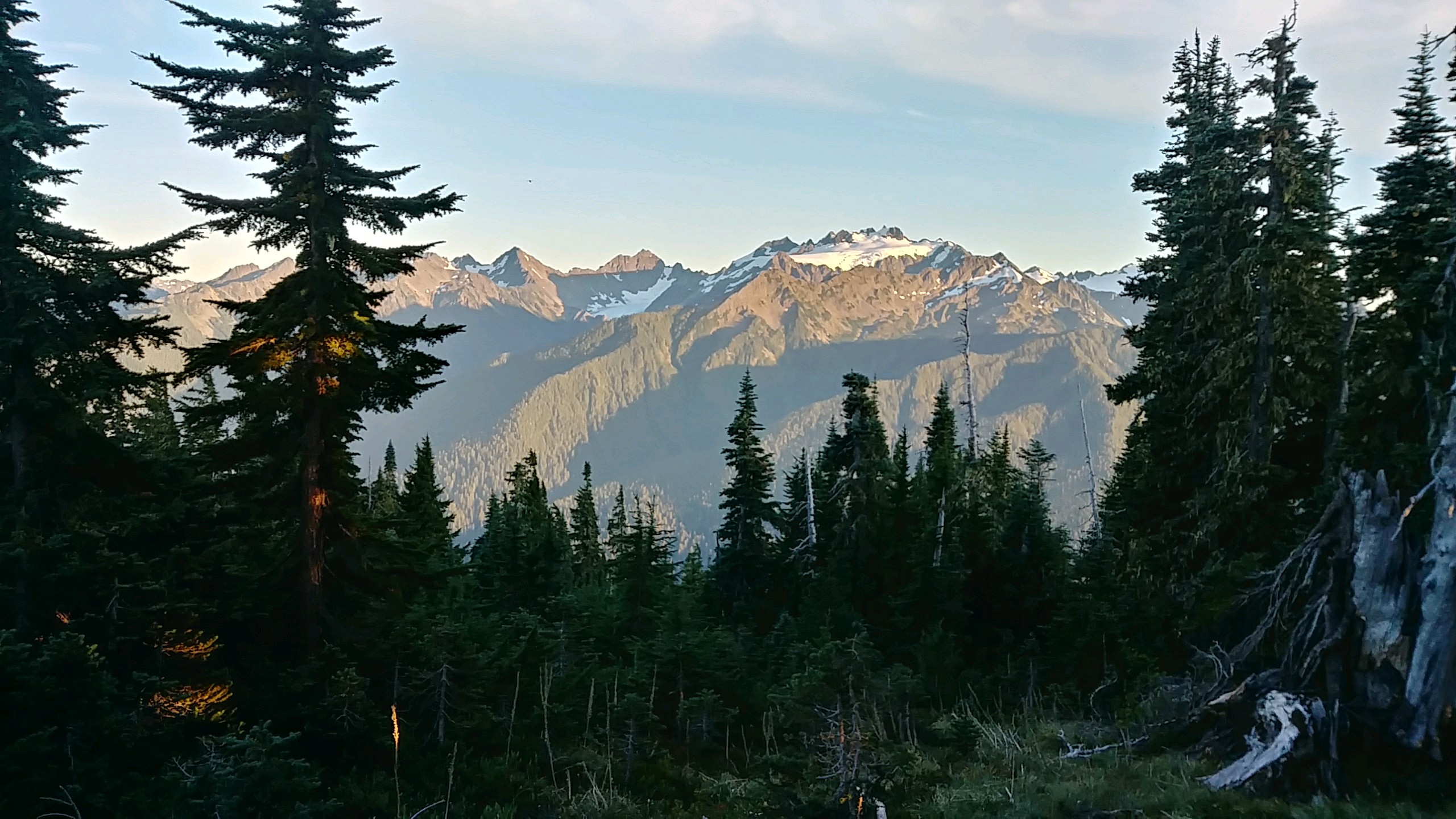
Most of the day was through nice pine and cedar forest but the top of Appleton Pass gave up some nice views. Reaching the High Divide at the end of the day was very nice. We have a great view of the Olympic range to the south east and the setting sun over more lower mountains to the west. We know the ocean is there too and we may have had a glimpse of it from one high ridge.
Many backpackers crossed our path today. This is a very popular area with nicely maintained trail. One young lady was just starting her first solo trip - 10 days on the PNT.
We are camping at an established site on a ridge for the first time so we have sun much longer and it should hit us early tomorrow.
Leave Comment
Posted: 09/13/2017
Posted: 09/13/2017
Day 54: Mountains to Valleys
 I walked 53855 steps on the trail today.
I traveled about 22 miles today.
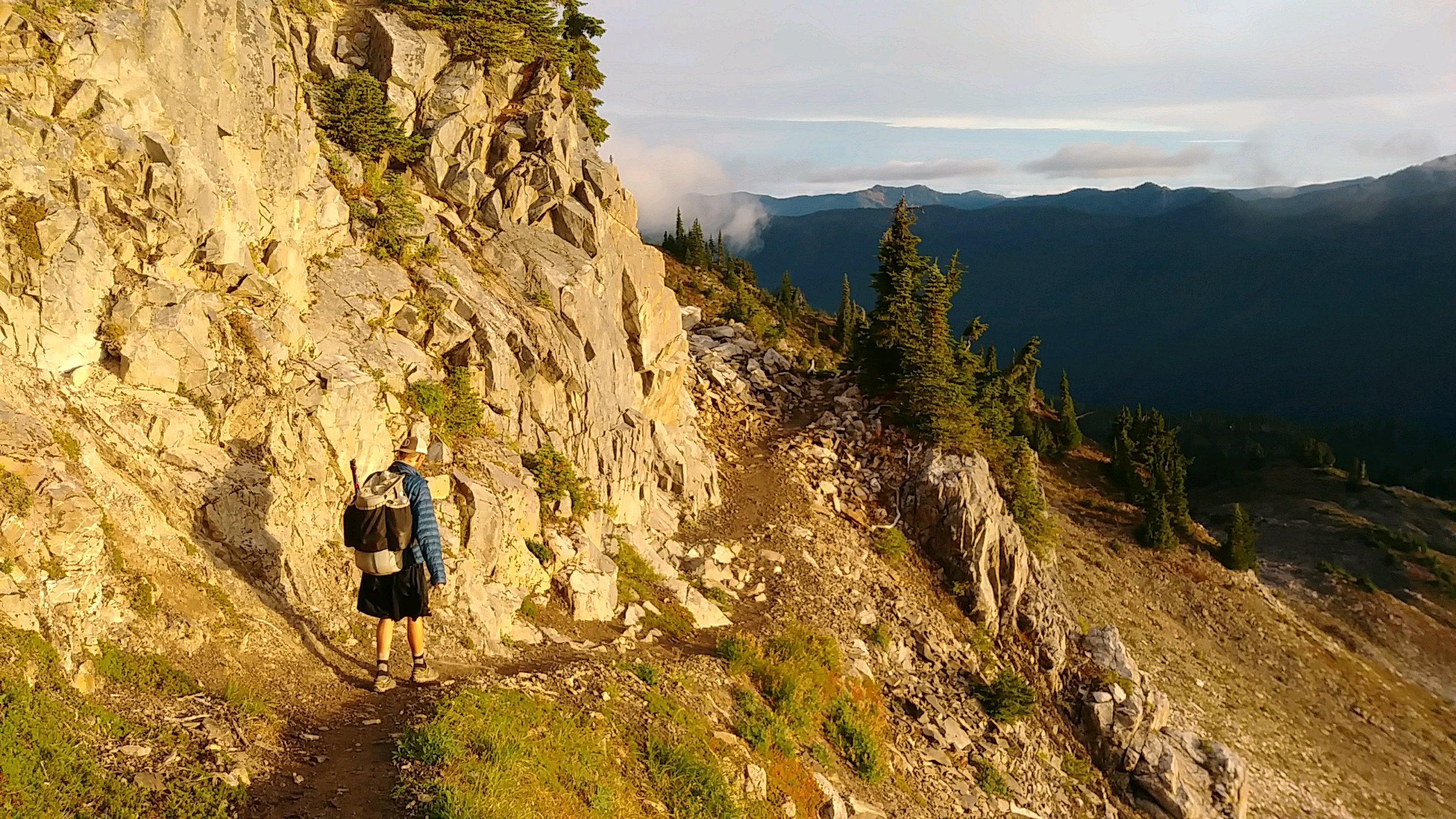
9/12/17 What a wonderful hike through all the environments on the Olympic Peninsula today. Our day began way up on Bogachiel Peak with a beautiful sunrise over mountain peaks iced with glaciers. Two deer ran through our campsite to see us off. As we descended down the mountains to the Bogachiel River, forests encroached over our path, blocking the sun but giving us our last chance to sample huckleberries and enjoy the fresh smell of pine warming to the day. Our long day ended in the thick, green, moist rainforest down in the valley. The trail down here is simply awful but that's all I have to say about that.
While pushing through overgrown trail vegetation in the afternoon, we came upon three PNT thru hikers - Ozark, Lushy, and ??? - resting, eating, and waiting for a friend named McFly who was behind us on the trail. These guys are nearing the end of their long walk also. After a nice chat, we continued on.
We made it to our destination camp with lots of time left in the day so we hiked on another few miles to make tomorrow a bit shorter. We're along a river all alone it's been a good day!
Leave Comment
Posted: 09/13/2017
Posted: 09/13/2017
09/14/2017
Day 55: Forks
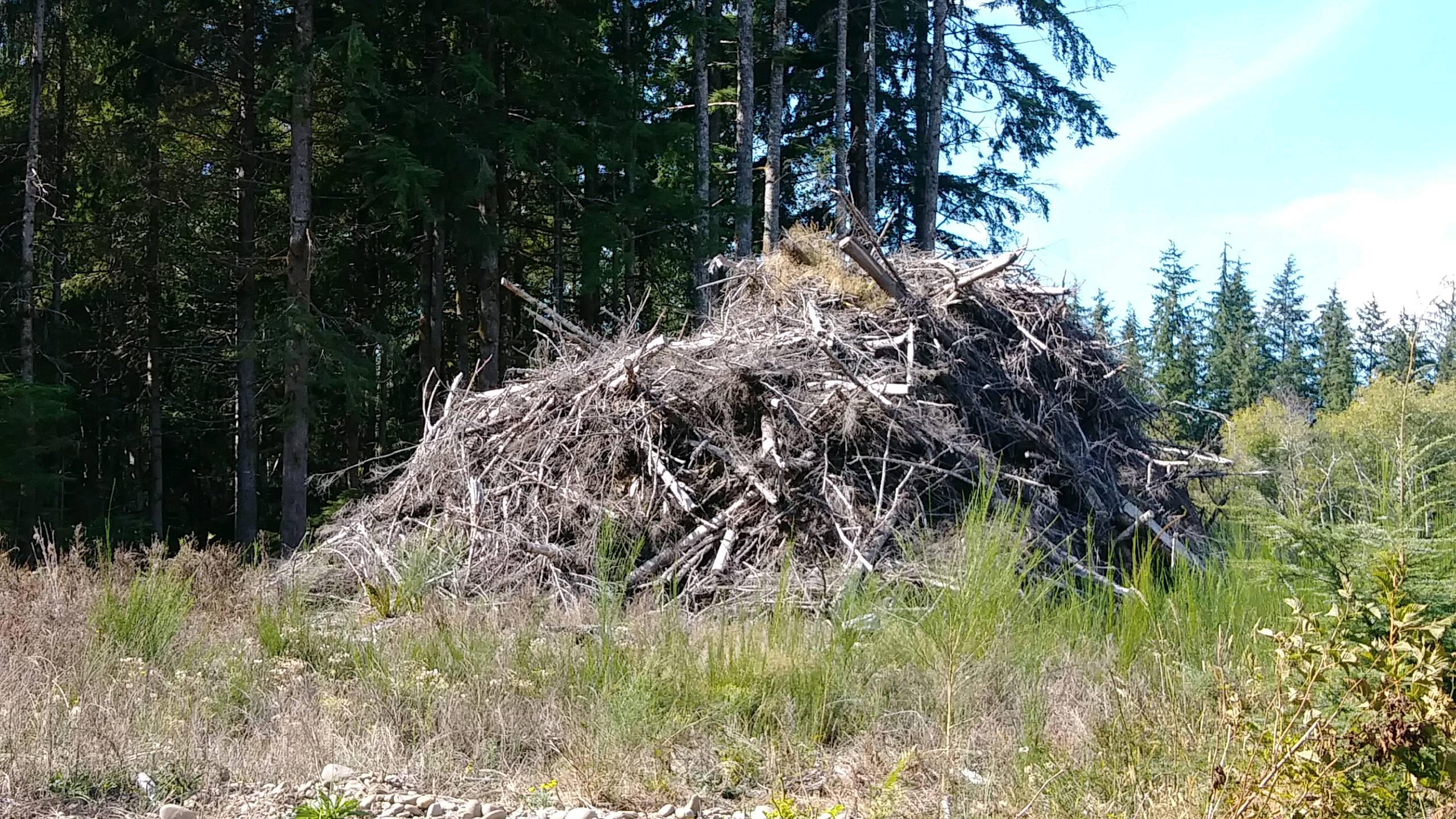 I walked 50320 steps on the trail today.
I traveled about 20 miles today.
9/13/17 Being in the Bogachiel River valley this morning, we had no big climbs or descents all day! The trail was much nicer than yesterday and we made good time through the rain forest. After 10 miles, we hit road and had another 10 miles into the town of Forks. Completely unaware of some twilight thing going on this week, we found out all the motels are full. The campground shown on our hike app doesn't exist so we were getting a little desperate when we saw a placard on the sidewalk saying the Last Chance campground was now open with an arrow pointing down a side street. A mile later, we met Virginia and Charlie that run the place. It's a very nice open field laid out with picnic tables, fire rings, and flat spots for tents or vehicles.
I've been searching for Sasquatch this entire trip. I found some signs along the way but today I got a picture of a real Sasquatch house. What do you think? >br>While restng at the.Bogachiel park, Bernie, Becky, and Hank drove up and stopped to get water. Becky is driving her van named Bernie on an adventure around the country and her big dog Hank is riding along.
Leave Comment
Posted: 09/14/2017
Posted: 09/14/2017
Done Hiking Today

I finished hiking for today. You can check out my current location on the map and I'll post about my day when I am in coverage.
09/15/2017
Done Hiking Today

I finished hiking for today. You can check out my current location on the map and I'll post about my day when I am in coverage.
Leave Comment
Posted: 09/15/2017
Posted: 09/15/2017
Older Posts Newer Posts
Find more Hiking Resources at www.HikingDude.com


Follow Me
Recent Comments