
Pacific Northwest Trail Thru-Hike 2017 Journal
I hiked with my son, Josh, along the 1200-mile Pacific Northwest Trail from July 13 to September 15, 2017 walking from the Continental Divide in Glacier National Park to the westernmost point in the lower 48 states at Cape Alava on the Washington coast of the Pacific ocean. This took 57 days plus a 10 day break in Idaho to do some volunteer work.
This journal is composed from my daily writings and supplemented with more pictures and thoughts.
You can click any picture to view a larger version of it, if you want.
To get an idea of where we were each day, you might open my Trail Map page.
I would be happy to answer questions you may have about our trip, or planning your trek. Your adventure will be different from ours, but our experience may help you enjoy yours more.
Pacific Northwest Trail hike - Day 01 to 14 - Glacier to Coeur d'Alene
Pacific Northwest Trail hike - Day 15 to 30 - Coeur d'Alene to Oroville
Pacific Northwest Trail hike - Day 31 to 44 - Oroville to Burlington
Pacific Northwest Trail hike - Day 45 to 57 - Burlington to Cape Alava
I walked 12640 steps on the trail today.
We traveled about 5 miles today.
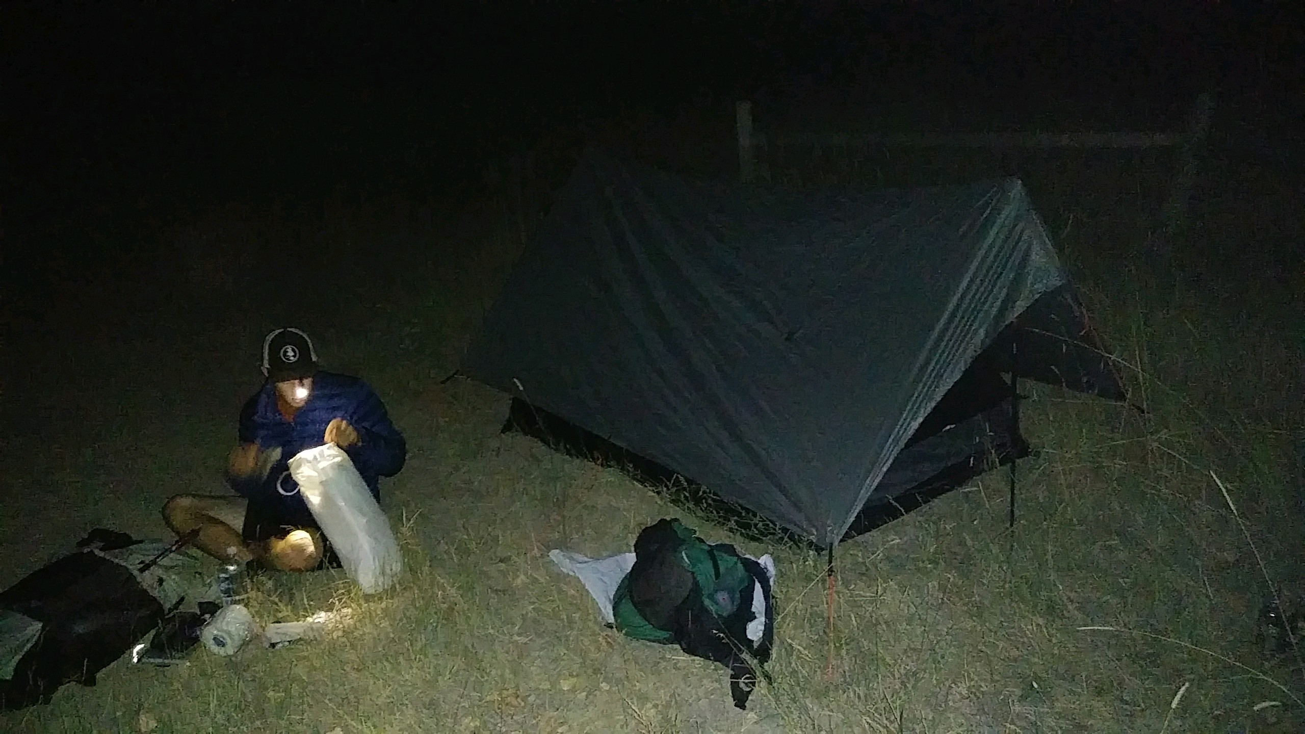
Josh's friend drove us from Lutherhaven to our trail head above Bonners Ferry late in the evening and we just road walked to the Kootenai River levy and threw down our tent when it got too dark to hike farther. Waved to a few farmers as we walked but that was it. The sun was blood red as it set from all the forest fire smoke and the nearly full moon rose a bright orange.
I walked 61700 steps on the trail today.
We traveled about 24 miles today.
We had the option of hiking the PNT route or an alternate today. The choice was between a 17 mile climb up a burned out, bone dry ridge or a 24 mile climb along a creek in a shaded forest - we took the longer route and that made all the difference.
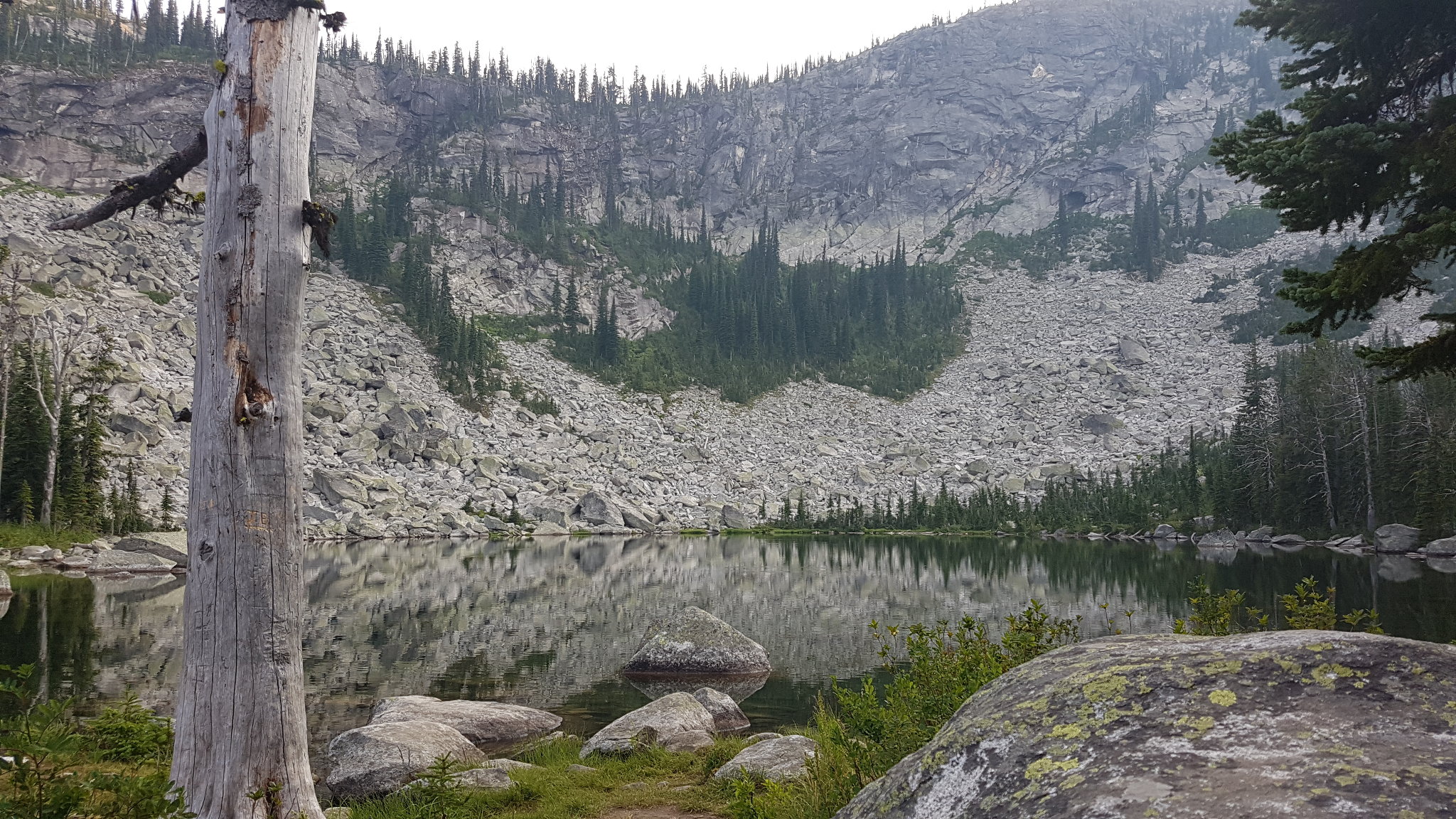
From the Kootenai River at 1700 feet, we hiked uphill all day to Pyramid Pass at 6700 feet before dropping down a bit to camp at Pyramid Lake. So, today was a long mile+ of elevation gain but the campsite was beautiful. Right by a high alpine lake with trout jumping and a 700 foot rock wall as a backdrop was a perfect place for our little shelter.
The forest was a nice cedar and pine refuge from the heat of the day and we had no problem with finding water. We met one couple that was hiking the trail for two days, and a large group of about 10 people had filled the main campsite at the lake.
The smoke wasn't too bad today and the moon and stars were very nice in the night.

I walked 46800 steps on the trail today.
We traveled about 14 miles today.
Looking back, this day was really one of the special ones of our entire trek. It was difficult, but full of interesting finds and surprises.
The Pacific Northwest Trail is actually a rough route patched together from existing trails. Sometimes these trails intersect with others that can be taken but, oftentimes, walking along a road to the next defined trailhead is required. Sometimes a trail will end out in the wild, like on a summit or at a lake. At those times, some cross country hiking is required to find another trail to follow on towards the ocean.
Our day started with a 600ft climb up from Pyramid Lake to the end of the trail - literally. From there we navigated 6 miles with no real trail - it was very slow difficult going while we found our way through brush and forest with no path to follow, but a wonderful experience! Except for the fact that Josh got stung by some nasty bee or wasp on his leg. This picture is Josh leading the way with no trail to follow.
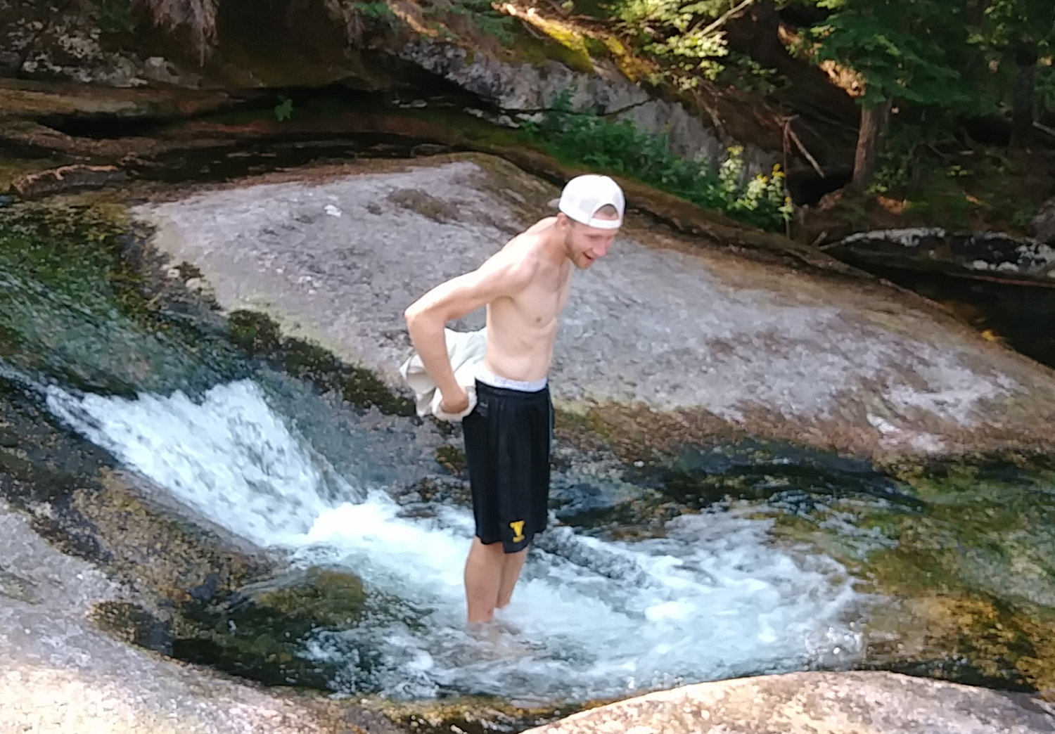
 At the end of the bushwhacking, we came to a creek that flowed over solid rock, making a natural water slide. We decided to spend an extra 45 minutes playing here because it was so cool. As we hiked down a couple miles and neared the trailhead, we encountered dozens of people hiking up. It turns out that there are some VERY popular water slides lower on the creek.
Refreshed from our swim, our afternoon entailed a 3300 foot climb up Lookout Mountain - on a dusty old overgrown ATV track on the hot south side with little shade. I sweated the whole way but we were fortunate to have 3 nice water sources on the way up so staying hydrated was not a problem. Also, halfway up the climb a juvenile eagle took off from the path no more than 10 yards in front of us. He flew right past us and sailed down the trail - very cool!
 Every day my shirt and pants are soaked with sweat. Today, we reached our campsite so late they had no time to dry. I'll try drying them as we hike tomorrow.
Our camp was at a small lake at the source of Lucky Creek. We were lucky to find it. Our maps, our app, and our data book had no help in figuring out where the trail was and how to find the camp. I was just lucky (after spending a lot of time on dead ends) to notice a small side trail and give it a try. The location was a beautiful end to a great day of hiking. We had a secluded, flat spot by a water source - that's the best you can ask for out here.
I walked 57300 steps on the trail today.
We traveled about 27 miles today.
To make up for the last two days of big climbs, today was almost all downhill or gently rising. The day started with snacking on huckleberries as we walked and spooked two elk off the trail. Early on, our trail crossed a road and stopped. Our app, map, and book made no note of walking the road or tricky turn so (after searching up and down the road three times for any clues) we plunged down the steep forested hillside knowing we would eventually run into the trail on a road below us. It worked and only cost a few scratches.
The rest of the trail was very nice and mellow, passing along Priest Lake and through a huge old cedar forest. Unfortunately, there is not much to see. Smoke from wildfires has reduced visibility to just about a quarter mile. We can't even see across the lake.
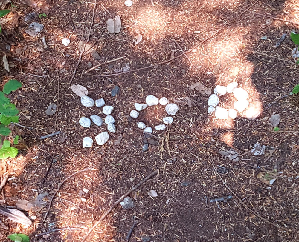
To keep up with Josh, I got stung in the back of my head - man that hurts! We walked over a "300" in the trail where someone had decided this was the 300 mile mark from the eastern terminus.
We met a trail crew putting in a boardwalk. We also met a couple on the shore of Priest Lake and chatted with them awhile.
 Now, we are on the roadwalk from Hades. There is a large fire burning that has closed the PNT and its alternate routes ahead of us. So, we are doing some 50 or 60 mile detour to reach Metaline Falls. The roads are all dust and there has been plenty of cough cough traffic. One very nice logger slowed way down and said HI as he passed.
Around 1pm, we crossed a wonderful looking river so we stopped for about 45 minutes to eat, get water, skip rocks and rinse off. It was great! But cold! A very strange man stopped his pickup on the bridge and began a conversation with us about how the world is pretty much going down the toilet. He finally left.
As our feet were dragging and my knees were aching, we found a spot to camp. Right on the creek across from the dusty road and there is the strangest Shoe Tree here. For some reason, there are hundreds of shoes thrown up into an old burned cedar tree. Weird.
The smoke is very bad and bits of ash rained on us at times. And, we crossed into Washington this afternoon - two states done, only one to go!
I walked 54760 steps on the trail today.
We traveled about 27 miles today.
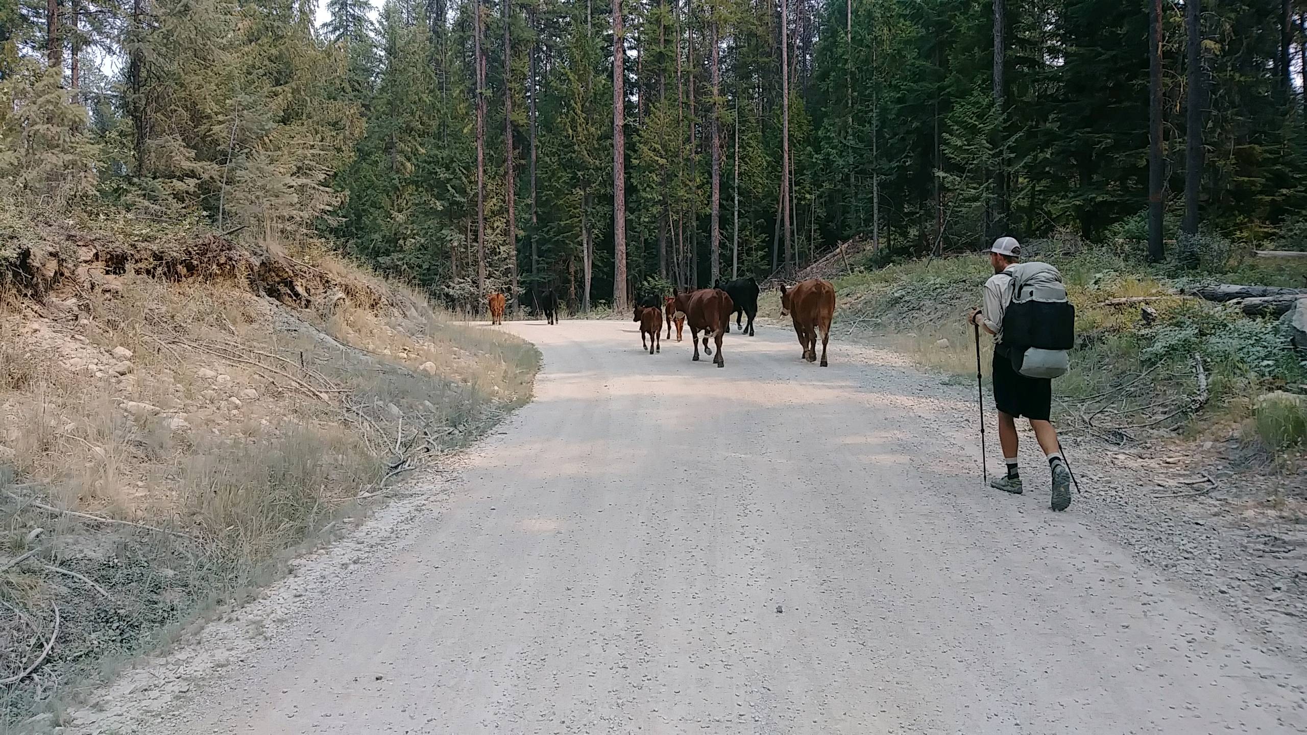
Today was just a long walk on dirt and gravel forest roads over the mountains to avoid the trail closures due to fires. Not too difficult, but quite dusty, especially when logging trucks came by. We saw no footprints along the roads so we might be the only ones to do this detour - we'll check when we reach town. We did get to snack on huckleberries and thimbleberries, and I tried some other purple berry. Really, the only excitement for today was a wrong turn that added a couple bogus miles but allowed us to herd cattle down the road for awhile. Oh, and we saw a dead squirrel in the road.
We quit early in the day at a nice campsite by a creek and have about 30 miles to Metaline Falls but distances are pretty vague out here. Smoke continues to fill the air and today smelled like campfires and ash, and anything over a half mile away was hidden.
I walked 55250 steps on the trail today.
We traveled about 28 miles today.
Josh didn't think we'd do it but, with nothing but long easy roadwalk and no place to stop due to private property and encroaching forest fires, we walked all the way to trail angel Mary's place in Metaline Falls.
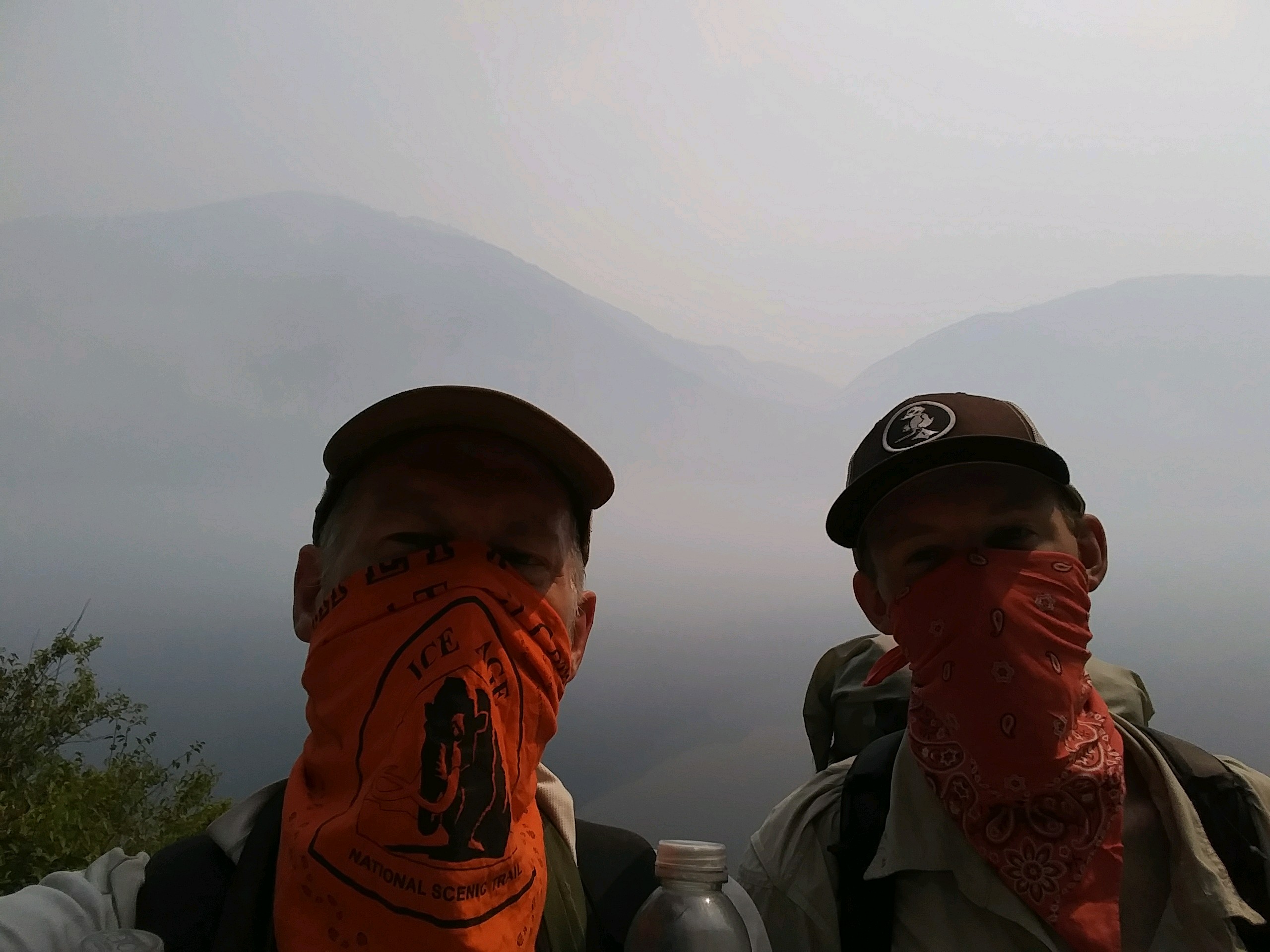
The excitement of the day was watching the Noisy Creek forest fire burning just across Sullivan Lake in the afternoon. The smoke got so bad we put on our bandanas and they actually helped with the irritation.
 We are tenting at Mary's and got to chat with her a long time this evening. She is great and had many wonderful stories, from her CDT hike as a 16 year old to the history of the 115 year old building she lives in.
Now, it's late but I get to sleep in tomorrow as we're taking a rest day here.

We slept in and then spent the day getting ready for our next 6 day section. The Falls Market has plenty of food to resupply. If they offered flavored tuna pouches, it would have been perfect.
I figure I ate around 6000 calories today, food bought at the market and a pizza shared with Josh at the 5th Street Lounge for dinner. Nothing is inexpensive but it is a small town.
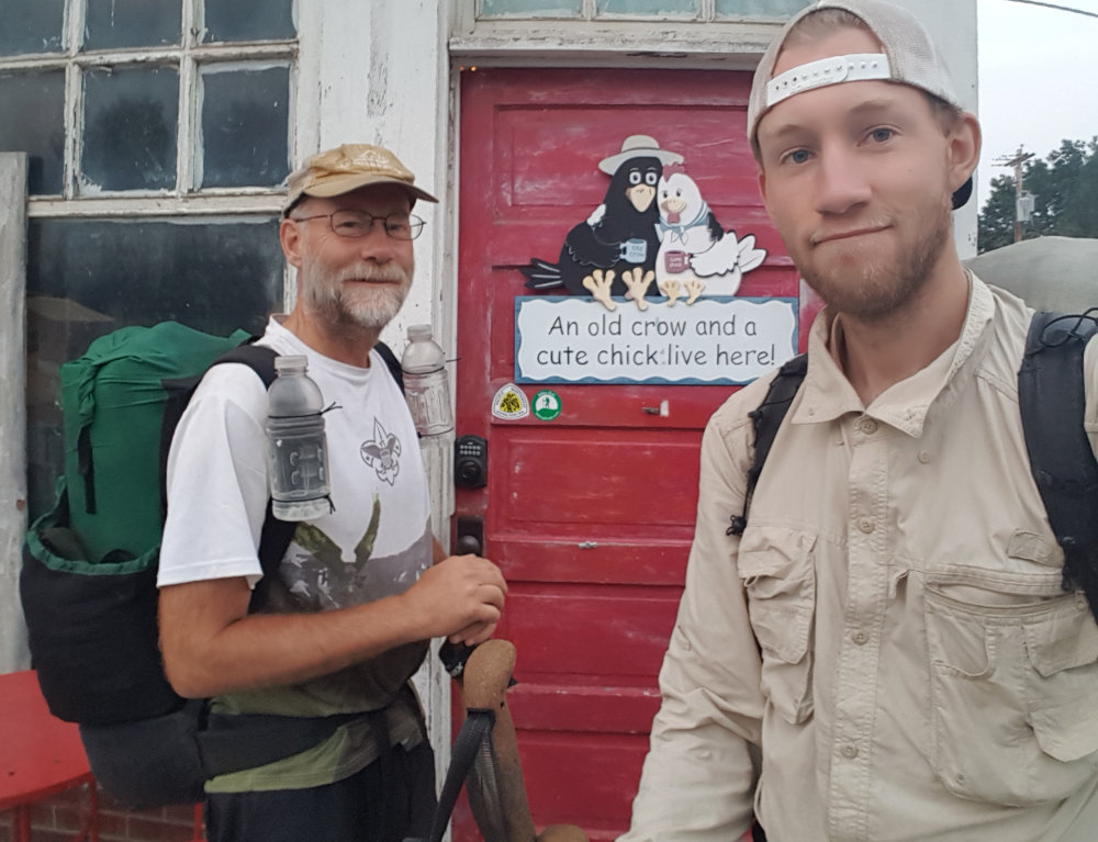 When you get to Metaline Falls, Mary's place is the bright red door with the PNT sticker and the Hiking Dude sticker on it.
We also washed our clothes in just water in a bucket and walked down to the river to cool off in the afternoon.
In the evening, we chatted with Mary again until it was time for us to turn in. A very nice day in Metaline Falls.
I walked 56316 steps on the trail today.
We traveled about 26 miles today.
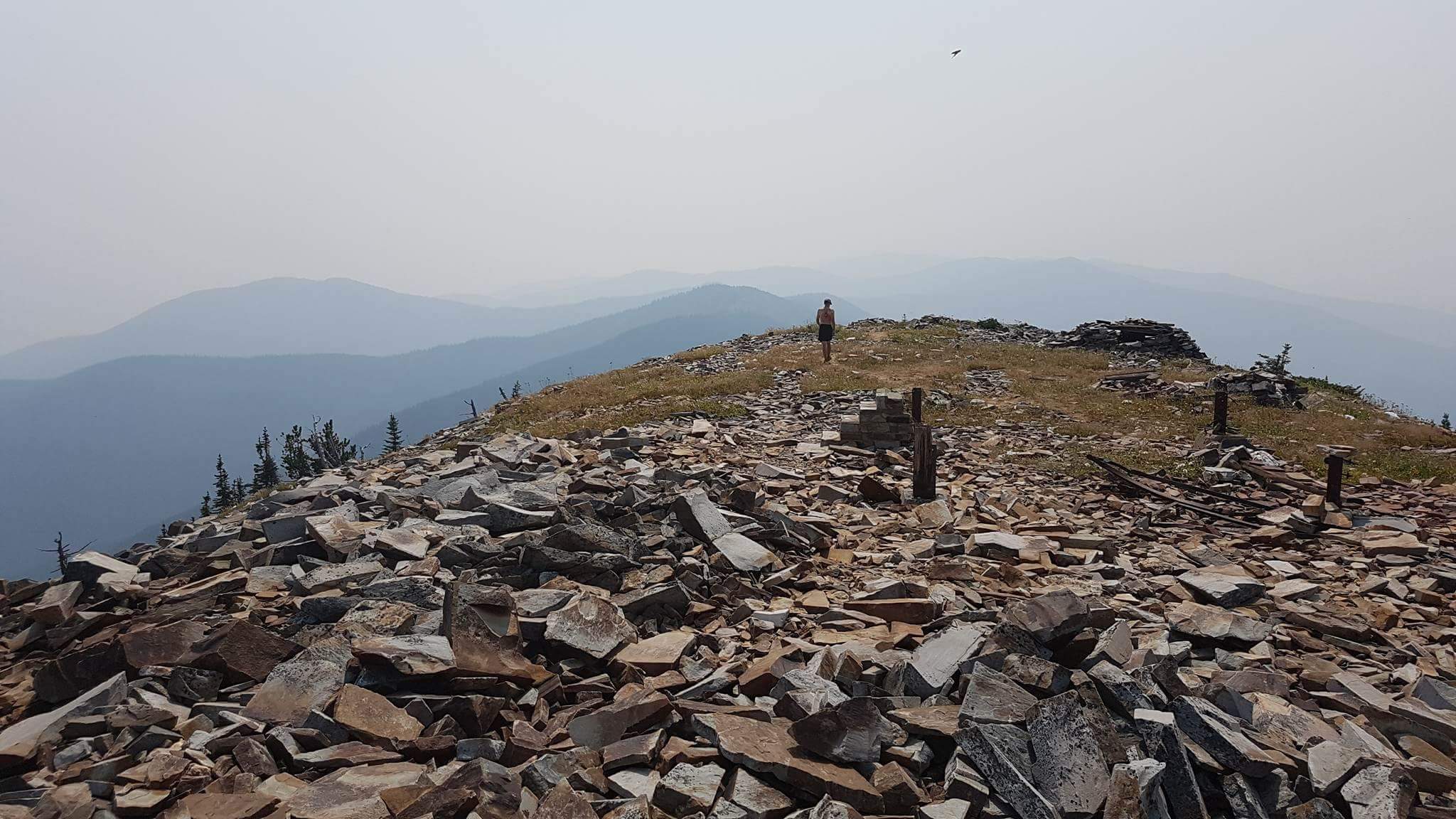
We got up early to start our 5200 foot elevation gain up Abercrombie Mountain over 16 miles, hoping to reach the top before the hot afternoon. Abercrombie is the 2nd highest peakin eastern Washington.
A mile out of town, I realized I had forgotten the plastic sheet for under our tent. While Josh waited with our packs, I went back for it.
Water was plentiful along the gravel roadwalk up the hill until a water cache at the trailhead. We topped off there and then had about 10 miles over the top and down the other side with nothing but dust and rocks. Good thing we filled up!
The top of the mountain was super. We left our packs and climbed the spur trail to the very summit. Walking on the loose rock sounded like you were walking on pieces of broken ceramic tiles. There was also the foundation of an old lookout.
 Coming down, there were 18 full switchbacks back and forth across the hillside baked in the afternoon sun and smoke.
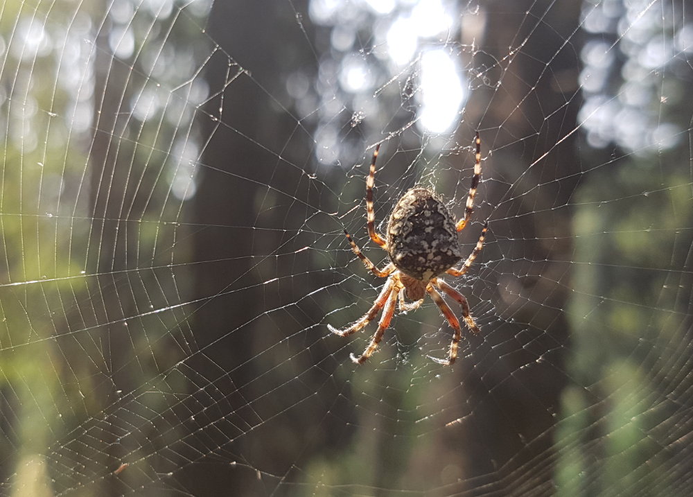
Through this forest, as well as pretty much every other area of trees or brush, there are spider web streamers across the trail. The first person hiking a trail each day gets to run into all the webs. Occasionally, there will be a full-blown web stretching across. Keeping your eyes open helps, but you're bound to eventually run right into a spider in your face - one of the worst things about being the lead hiker!
When we finally hit Silver Creek at the bottom of the switchbacks, we called it a day, got water, and set up camp in a nice, free campground with pit toilet and picnic tables. We're the only ones here again.
I walked 46589 steps on the trail today.
We traveled about 23 miles today.
It was still warm when we woke this morning, not chilly as days past. We did our usual pop tarts and water and started walking down the gravel road. Less than a mile in, we saw two dogs walking towards us down the road. One was all black and the other was grey. They watched us walk toward them until one sauntered into the woods and the other scampered across to the other side of the road and into the trees. They made no noise and we saw nothing more of them except their tracks in the dust for another mile.
So, they could have been feral dogs but they were not coyotes and I think they were big enough to have been wolves. Sorry, no pictures.
The rest of the day was a long roadwalk on pavement to Northport, passing lots of cattle ranches. We did meet a couple nice ladies riding bicycles and they chatted with us. Another woman stopped and offered us a ride to Northport saying everyone else was skipping this awful roadwalk. She sounded like a drug dealer trying to convince us - 'come on, just try it'. :-)
The road was very hot and smokey - surprise! And this one had No Trespassing signs everywhere. We had to slip past an abandoned house to get water from a small creek. 109 cars passed us so that added a little excitement throughout the day.
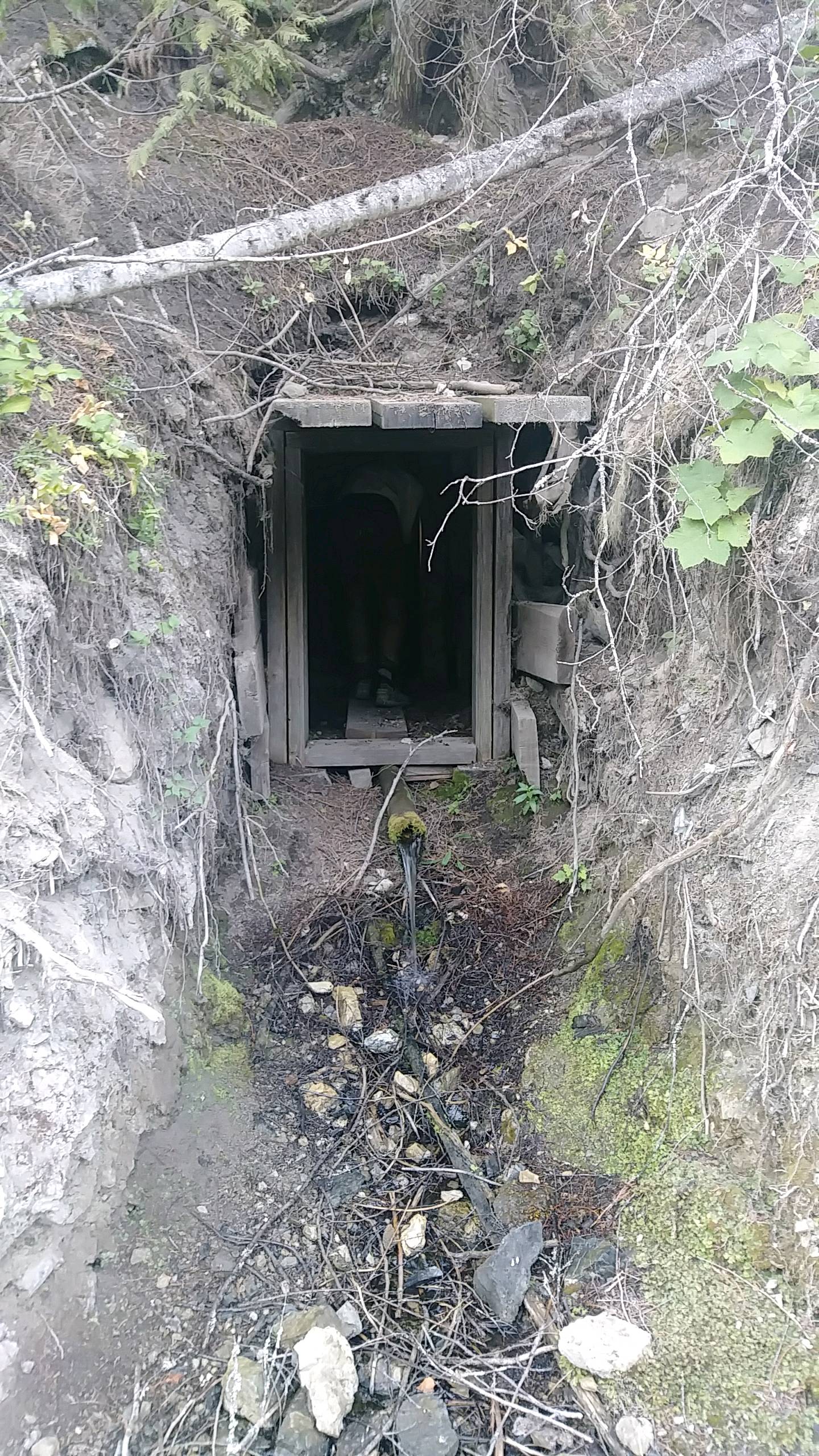
 We found and explored a mine tunnel chiseled into the hillside with a water pipe running out of it. Creepy! Especially the rodent we ran into.
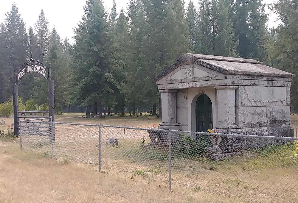
We also walked past a cemetary and a llama ranch.
Upon reaching Northport, a lady in a pickup said HI and asked if we were hiking the PNT - nice to meet someone that knows of the trail. I asked if she knew if there was a place like the city park where we might put up our tent. She directed is to see Sandy in Tony's Grocery. Tony's has a good selection for resupply and Sandy was very nice. She set us up with a tent spot, bathroom, and even WiFi for the evening at the community center - a very nice facility, especially for this size town. There was even a hiker box.
Tip: [Keep an eye open for a Hiker Box when visiting hiker-friendly places in civilization. A hiker box is where hikers can drop off excess items that might be useful for someone else, such as extra food, fuel, bear spray, clothes, or anything they no longer want to carry but don't want to throw out. Any other hikers can take what is there when they arrive and have a need. Some hikers ship too much food ahead and just leave some of it for other hikers that are running low on food. It's often the stuff they are tired of, but sometimes you can score good stuff.]
Our hiking day finished around 3:30 but once again we find ourselves moving faster than expected and getting to Republic a day early doesn't help us. Tomorrow looks like more road, but the forecast is for a drop in temperature of about 15 degrees - that would be wonderful!

I walked 52477 steps on the trail today.
We traveled about 24 miles today.
We had thunder during the night and then real rain just after we packed up our things to start hiking. So, we waited under the porch of a building a bit for it to pass. First rain in such a long time and a very welcome drop in temperature.
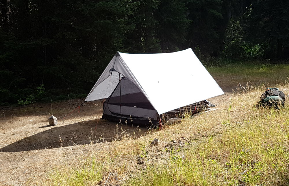
From our great temporary home in Northport, we crossed the mighty Columbia River and then hiked uphill on gravel roads most of the day. We passed the Northport International Raceway where the noise from the races had kept us up late into the previous evening. After that, we saw no people all day until reaching the Pierre Lake campground where we stopped for the night, paying to pitch our tent - ouch.
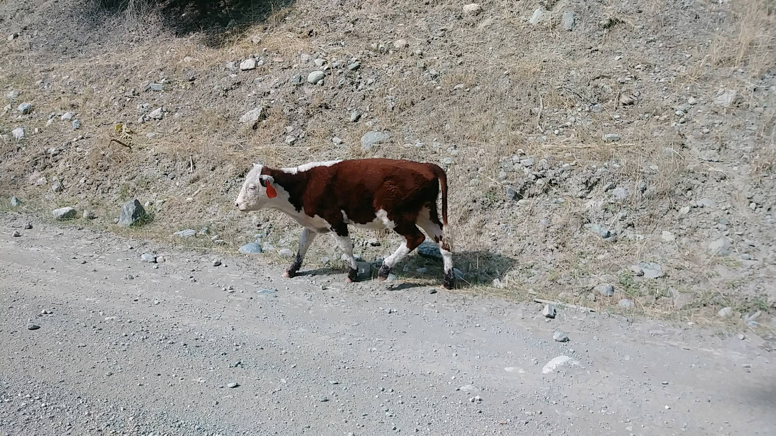 But, we did see plenty of cows. Throughout the day, we encountered small clusters of cattle on or along the path with well over 100 head in all. We got to herd a few for over two miles - they just kept walking down the road ahead of us. This was all in the Colville forest, hence the subject line.
The rain continued to mist most of the day but never really came down until after we set up our tent and were inside. We did get to use our rain ponchos for quite a few hours.
I was excited to see clouds at least 5 miles away this evening - because they were not hidden by smoke!
I walked 51390 steps on the trail today.
We traveled about 25 miles today.
Roadwalk miles are much different than miles on trails. Today's walk was completely on roads - paved, gravel, dirt, and primitive. Since nothing exciting happened, I'm listing pros and cons for roadwalks.
Roadwalks have no spider webs, able to walk side by side, an even tread and steady grade, easy to navigate, easier miles, straighter towards destination.
Roads have traffic, dust, pavement is hard on legs, and there is less shade.
 We walked through the tiny town of Orient about 8am where everything was closed, not even a car or rabid dog to bother us. We are camped along a creek by the road tonight in a campsite that some people built a lot of structures in.
Oh, one interesting thing - we were getting water from a creek far up in the mountains and a guy came walking out of the woods. He was a forest service employee doing goshawk research. Very weird.
I walked 49450 steps on the trail today.
We traveled about 20 miles today.
Josh back in the saddle here to take over story time for this long day. Today started off same as most mornings on the trail: cold, dark, and early. Up in the mountains the temperatures dip surprisingly low at night, so I often find myself needing to throw on all my layers before getting too comfortable. But when we get hiking all those layers are removed to make up for the 50 degree difference in temperature. We are getting good at timing our morning routine so that we're all packed up by the time it's light outside, but only when I don't lay around for an extra 10 minutes.
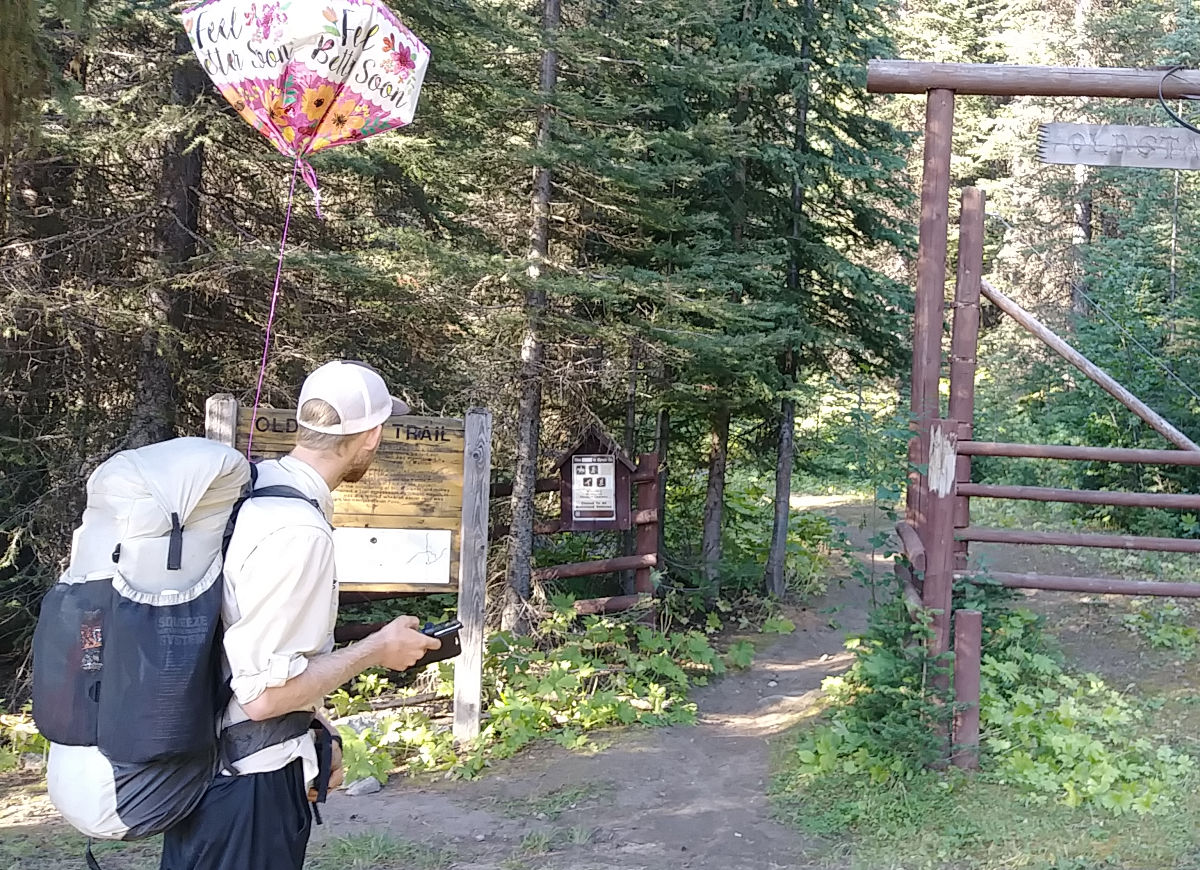
So we got up, bags and bottles full of nice cold water from the creek, and set out on our forest road walk to start the day. Within the first hour we came across our first mylar balloon of the thru-hike! You know, one of those lightweight, vinyl, helium-filled specialty balloons for birthdays or other celebrations. When you have one it's a blast to let it go and watch it float up up up and away as it turns into just a speck in the sky... But they eventually come down and land somewhere, and they last forever. This one still had helium and never popped so I tied it to my pack and hoped it would perk up a bit as the day warmed up and as we would gain altitude. With the balloon on my back helping to lift the load of my pack, we continued to the trailhead of the North Kettle Crest trail.
The PNT hikers ahead of us have either followed this trail or have opted to take the alternate route that parallels the mountain ridge trail, but along a road at the foot of the mountains. Since the smoke had cleared out and we are ultimately here for the challenge of the opportunities to glimpse into the beauty that this portion of the country has to offer, we agreed to climb the mountain at the cost of difficult miles.
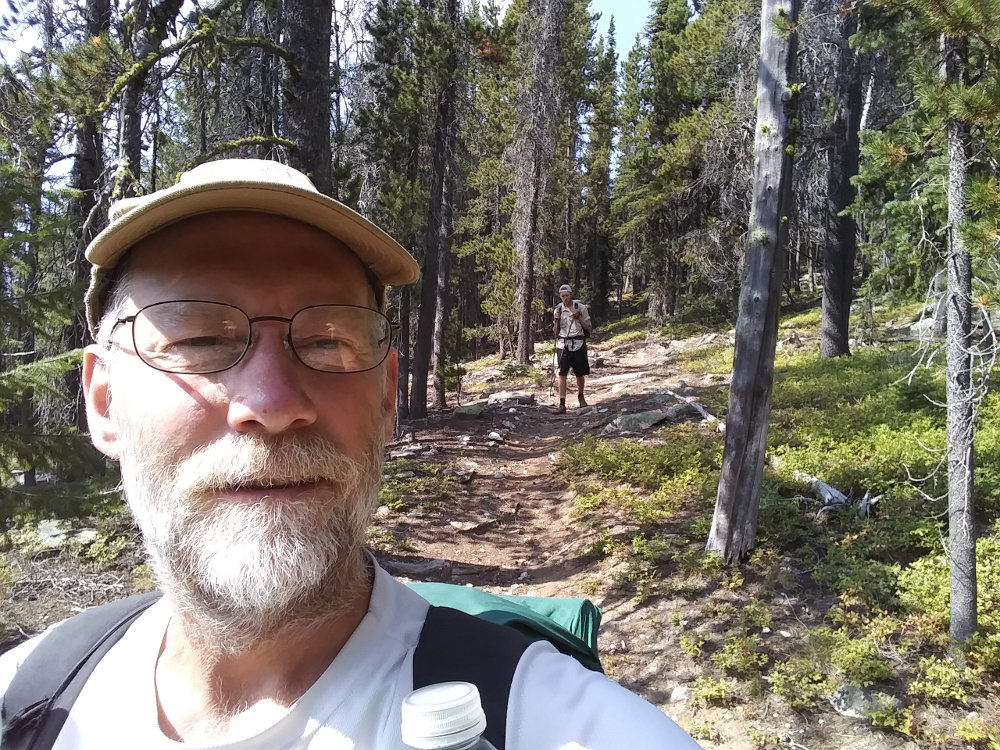 Before beginning our ascent, we passed by the forest service folks we met the other day who were coming in for another morning of counting and identifying northern goshawks in the area. We made it to the trailhead; the end of the road and the start of the trail. There was an empty forest service vehicle parked there, so we knew to keep our eyes and ears open for potential friends. And then we climbed. And climbed. And climbed and climbed and climbed. Eventually we made it to the top of Copper Butte - the highest altitude for the day.
We discovered that we could get mobile data up there, so we took an hour break and played on social media for a bit and quickly re-realized that nothing happening on the internet was as interesting as what we were experiencing. While we were poking away at our gadgets we were unexpectedly subjected to an aerial bombardment of goshawks chasing each other near ground level, weaving and darting between the thin foliage (and us) atop the mountain. We didn't know what they were at first, all we heard was the rush of wind as they whizzed by sounding like fighter jets.
By this time the Mylar balloon had been expanding under the heat of the sun all morning and was flying high. And as cool as it would've been to let it go and watch it float away into a speck over the horizon, I just couldn't bring myself to let it go. So we poked a hole in it and I inhaled the yucky old tasting helium and said things in high pitched voices and got dizzy and packed the trash in my bag.
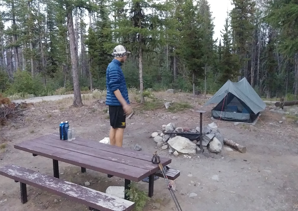 On our way across the ridgeline we met the forest service crew that was working with white bark pine trees across a transect (a line of trees) that had been established 13 years ago for data collection. The crew consisted of 3 ladies with tons of gear that they had hauled up the mountain, and they showed us a spot of cankers that they had found growing on one of the trees. We continued our hike along with our water slowly depleting as we knew it would without any water sources along our route.
We eventually made it to our campsite just off of US 20 where a random lady in her car was leaving and informed us that she'd just seen a baby black bear in the area. We set up our tent anyways, ate dinner calories, and dove back into some Netflix episodes saved on my phone as a reward for another successful day.
I walked 40992 steps on the trail today.
We traveled about 18 miles today.
Some days, the hike isn't as fun as what happens after the hike. Today, we woke to see our first real sunrise. Every other day, we've been shadowed by mountains and don't see the sun until it breaches the ridge line. Today, camping on an East/West pass, we were up and moving just as the bright orange globe came up.
After that, we had 17 miles of dodging traffic on US20 into Republic. (We would wind up walking along this piece of pavement many times in future days.) Once we reached town, we loved the old West look that most of the downtown buildings had. We stopped at Anderson's grocery (a wonderful store!) and resupplied for our 4 day walk to Oroville. We then walked the mile to where we'd be staying the night.
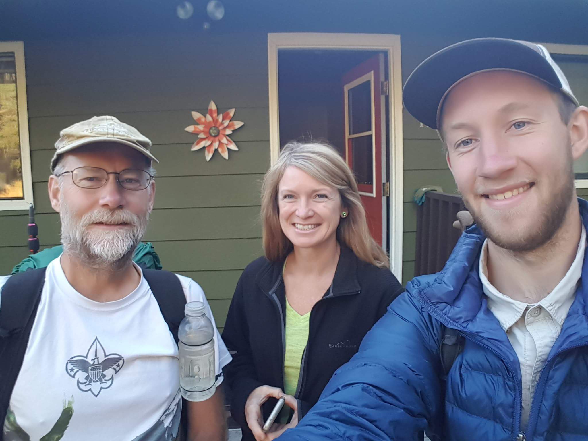 Prior to arriving, I had been in contact with a local trail angel to see about staying there. I had no idea that Artie and Mike McRae were world famous for their hospitality but we soon found out why they were! They gave us permission to stay at their home, have showers, do laundry, and eat anything from their fridge - all before they got home from a trip. We did all but the last.
Then Artie roped a friend into driving us into town to get food for dinner. Rob was a great guy, too!
The next morning, we finally got to meet the McRaes as we were all getting ready to go to our respective 'work'. Just super great people and a wonderful night off the trail. Even though we did not take a zero day, having an evening to relax was very refreshing.
Tip: [Trail Angels are folks that support long distance hikers by providing rides, lodging, laundry, tent space, encouragement, or pretty much anything that helps the hiker continue on the trek. Trail angels are examples of the best that the human race has to offer! If you are aided by a trail angel, please appreciate that assistance and demonstrate your appreciation. Some hikers, as they experience the generosity of trail angels, develop an attitude of entitlement and expectations of receiving this aid - that ruins the trail community. Offer to pay for the support, send a thank you card after your hike, clean up after yourself, be courteous, and be a good guest. ]
I walked 56760 steps on the trail today.
We traveled about 23 miles today.
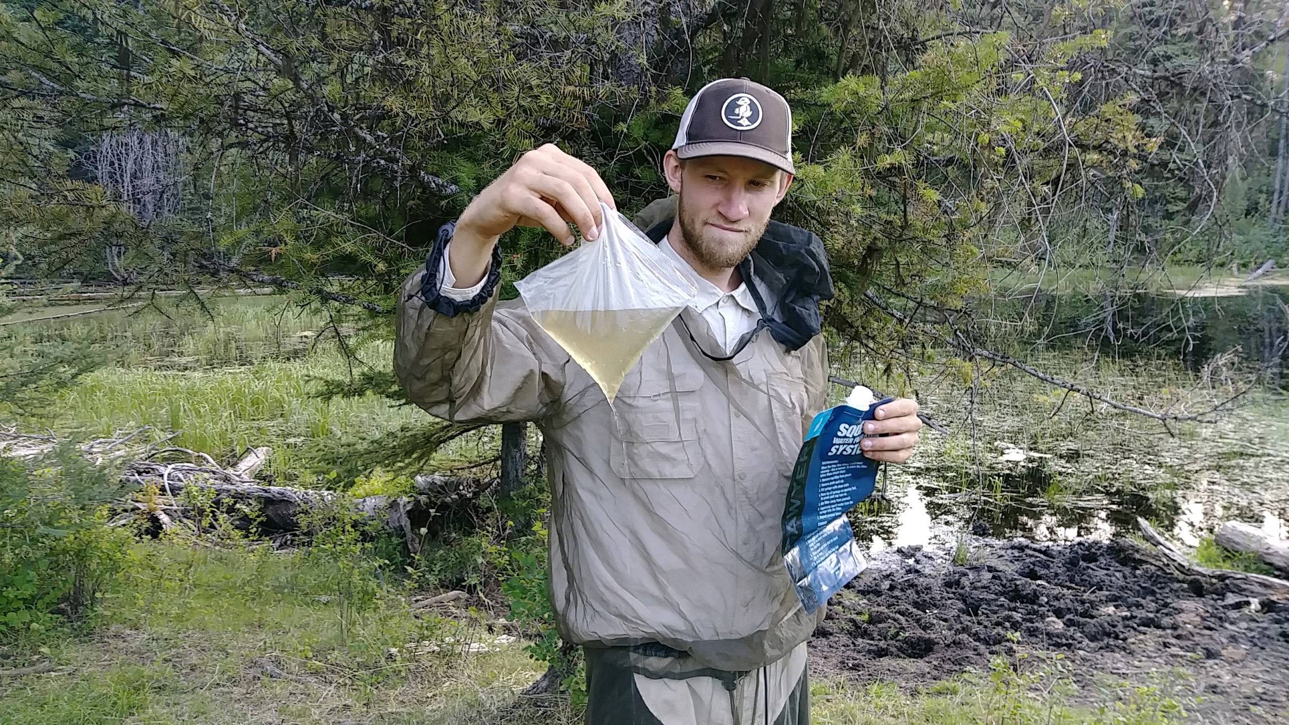
We left the Cowville (Colville) forest a couple days ago and entered the O-Cow-nogan (Okanogan) forest today. I had no idea how many cows are free range grazing out there! We got to herd cows again but this time they also raised a huge cloud of dust along the trail. At the end of the day, our water source is a small pond that we chased the cows from. Its still yellow after filtering, but a little crystal light covers any taste. We did walk a half mile farther looking for a spring on the map but it was just a muddy area trampled with cow prints.
Besides the cows and deep dust, the climb and ridge walk out of Sweat Creek was a good hike. Once we got up on the hills, we could see for miles today. Smoke was practically gone and mountains way off on the far horizon were visible.
It was still hot and dry, but cooled off in the evening.

I walked 48043 steps on the trail today.
We traveled about 21 miles today.
A nice 6-mile downhill walk to the Bonaparte Lake campground was a great way to warm up this chilly morning. Filled with water, we spent the next few hours climbing 3700 feet up Mount Bonaparte through arid forest being warmed by the sun as each hour passed.
It was certainly a strenuous hike but without cows or bugs it was very nice. The forest throughout the day changed between thick and cool, grey and dead, and sparce and dry. On one section of trail I counted 75 down trees across the path. It made for some interesting stepping.
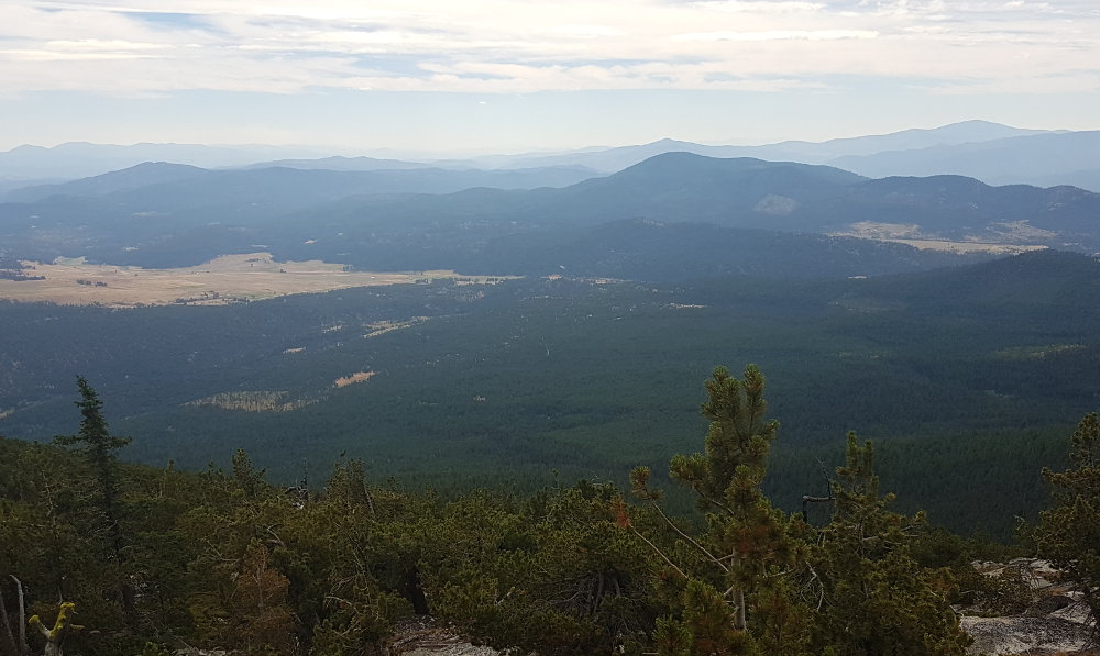 The highlight of today's walk was the summit of Mount Bonaparte with its lookout and views in all directions. This was the first day since Montana that showed us mountains far away on the horizons not obscured by smoke. It was beautiful even though the photo doesn't show it. We spent way too long enjoying the summit with sunshine and cooling breeze - pretty much what the PNT promises in the advertising.
 After this, it was 10 downhill miles to the end of our day. This eventually took us through more cattle country and across vast prairie lands.
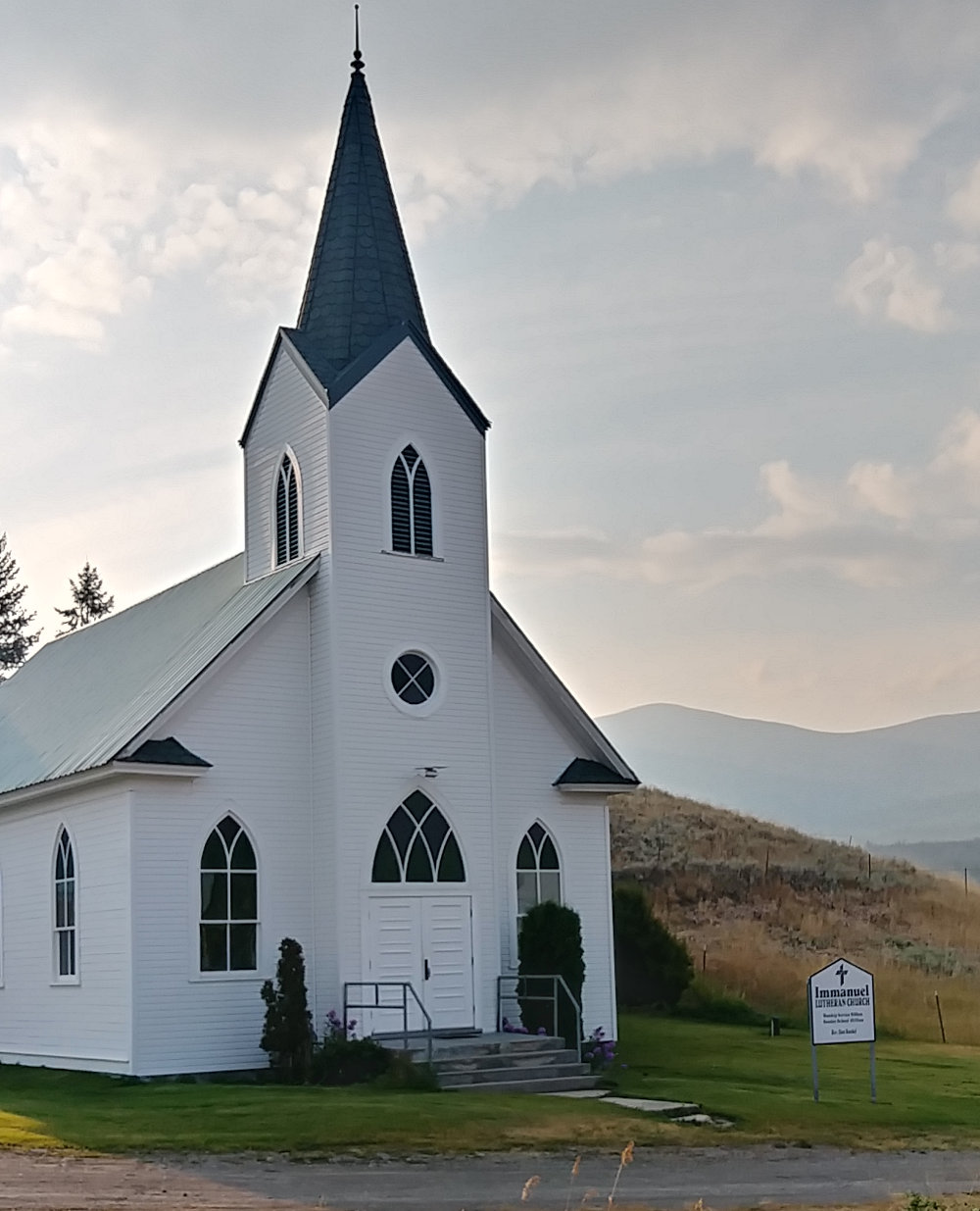
Our day has ended at a small church in Havillah where we've been welcomed to tent for the night. We heard PNT Hikers might camp here so we walked the extra .3 mile north of the trail. No one was around and there is only one other house across the road making up downtown metropolitan Havillah.
So, we sat on the church's grass in a bit of shade and waited. About 45 minutes later, Casey drove up in his car so I went to chat with him. Turns out that he's the caretaker of the church and he makes 'Ole Swede' hard cider. He had an event to go to out of town so we helped him pack his car full of cases of cider, and he gave us some to try tonight. He also gave us permission to tent here and use the water. So, yet again, it all works out.
After washing off much of the trail dust with a hose and eating from my food bag, it's time to turn in.

I walked 40560 steps on the trail today.
We traveled about 20 miles today.
They say Oroville is the halfway point of the PNT. Tonight, actually this afternoon, we stopped just 10 miles shy of the town.
I have to pick up new shoes at the post office and they are not open on weekends. So, we'll get there early tomorrow for a rest day and get the shoes asap Monday.
Our original rough plan for this trail was to average 20 miles a day and take 60 days to complete it. Without trying too hard, we are right on that schedule.
Today was all road of varying usability, from paved to eroded dirt, across many miles of prairie, forest, and scrubby desert. A steady breeze and clear blue skies made the walk through the arid pine forests pretty nice. One missed intersection even provided us with a little off trail navigation practice.
The most excitement for the day was hearing gunshots grow louder as we hiked along. Fortunately, our trail turned before we found the shooter and the shot sounds faded away.
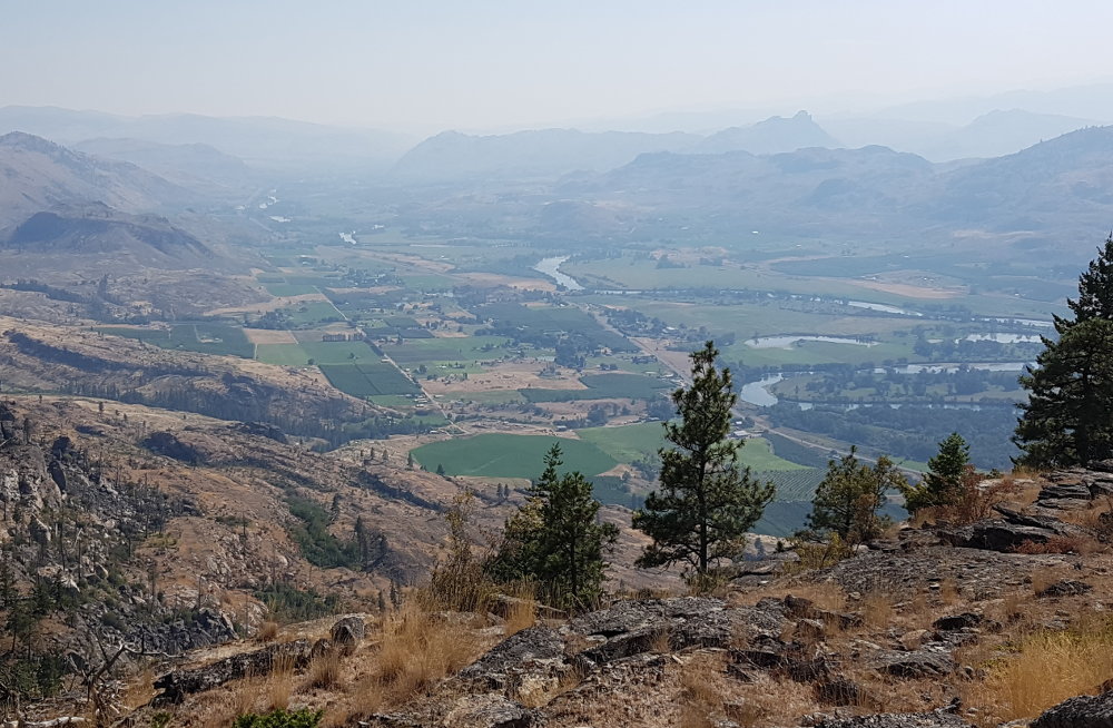 Now, we are perched precariously on the edge of a cliff with a gorgeous view out over the valley and towns below.
Josh decided this would be a fun place to camp without setting up the tent. No bugs no rain.
It was fun to watch as the day ended and the lights twinkled on in the tiny towns down below.
Continue with: Pacific Northwest Trail hike - Day 31 to 44 - Oroville to Burlington
Find more Hiking Resources at www.HikingDude.com


Follow Me
Recent Comments